
All Journal stories Things to Do on Sark
The Sark JournalSark's beaches
Enjoying the Sark Journal? Get new Sark stories by email.
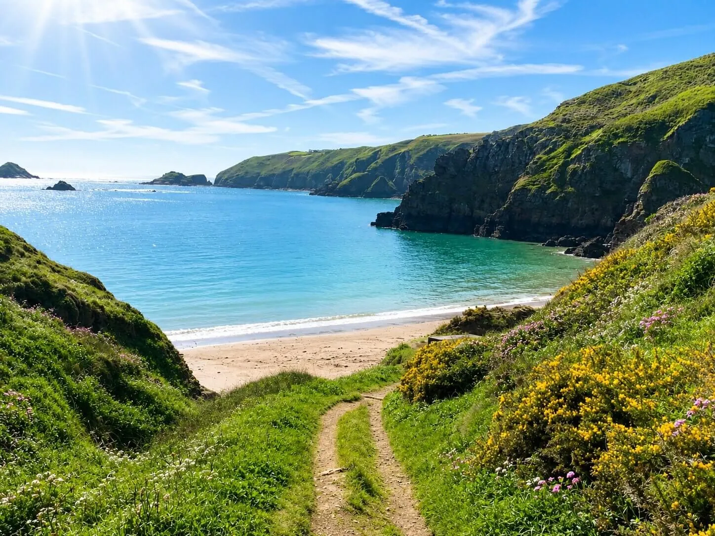
Most of Sark’s beaches sit below the island’s plateau, reached by paths, steps or a descent through a valley, and where you end up depends on how far down you are willing to go.
Forty miles of folded coast
Sark is around three and a half miles long, yet it has roughly forty miles of coastline. That apparent contradiction explains the island’s beaches: the coast folds around bays, coves, headlands and rock platforms, so a place that looks close on a map may still sit far below you, and going to the beach begins with choosing a route through that folded landscape rather than simply walking towards the water.
The tide remakes the same bay
A Sark beach changes shape through the day rather than staying one fixed place. At lower water, sand, rocks and the floor of a cove may be exposed; as the tide rises, the available shore contracts and familiar routes can change. Grande Grève, Port du Moulin and the landing at L’Eperquerie are all best for swimming from about half tide up to half tide down, while Dixcart Bay and Derrible Bay are better explored nearer low water, when more of their shape is visible. Check the tide before setting out, particularly when swimming or exploring beyond the main access point.
Dixcart Bay
Dixcart is reached through a wooded valley on Sark’s southern side, and at lower tide the bay opens more fully, so the relationship between beach, rocks and cliffs becomes easier to read. An 1890s photochrom of the bay in the Library of Congress collection shows the same rock arch, the same shingle and the same cliffs a visitor sees today, one of the clearest instances on Sark where a period photograph and a modern one could be swapped for each other.
Grande Grève
Grande Grève lies below the western side of La Coupée, on Sark’s west coast, so it holds the afternoon sun, and from the crossing the bay appears almost directly beneath you. Reaching it requires a steep descent: the original path down was blocked by a landslip in December 2009, and the route in use now is a volunteer-cut steep path, taken at your own risk.
Grande Grève also shows how Sark compresses very different experiences into a small area. La Coupée is one of the island’s most recognised landmarks, and the beach beneath it is reached only by committing to the climb down and back.
Derrible Bay
Derrible Bay is another place where the tide affects more than the view. At the top of the bay sits Creux Derrible, a large collapsed cave, and the seating area where most people sit is cut off from the steps leading back to the path once the water starts to rise.
Not every cove is a swimming beach
The island’s shoreline includes beaches, rocky coves, harbour edges and tidal pools, and they are not interchangeable: some places suit swimming in settled conditions, others are better approached as part of a walk, and some become more interesting at low tide but require greater care as the water returns. The useful question is not simply “Which is the best beach?” but “What is this part of the coast asking of me today?”
Why Sark’s beaches feel different
Their character comes from three things working together: the cliffs keep them below the everyday life of the island, the paths make arrival gradual, and the tide ensures that the place you reach is never quite the same twice. Reaching Sark’s beaches means descending into a different part of the island, not simply arriving at the water.
Our Venus Pool article explains why one of Sark’s best-known swims is governed by low water. La Coupée explores the crossing above Grande Grève, while Walking Sark covers how the island’s lanes and coastal paths fit together. Wild swimming is also part of our women’s wellness retreat when conditions allow.
